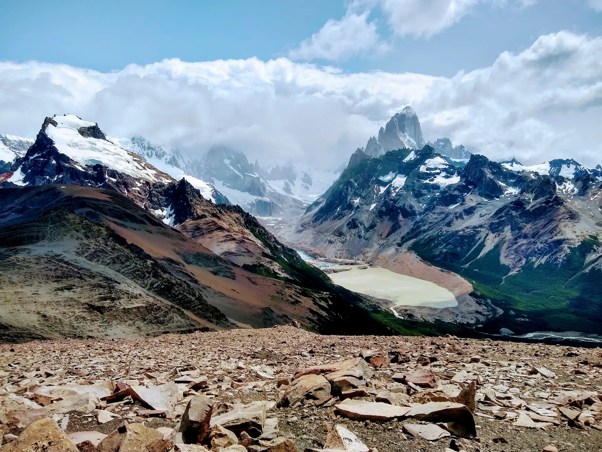
Loma del Pliegue Tumbado Trail
The Loma del Pliegue Tumbado Trail is one of the most significant ascent routes within Los Glaciares National Park. Unlike other trails that focus on approaching the base of the massifs, this route offers a change of perspective by gaining elevation above the valley. It is located in the immediate surroundings of El Chaltén, forming part of a network of routes that connect different ecosystems, from the Andean forest zone to areas of greater exposure to the elements.
Landscape and geography of the ascent
The route is characterized by passing through varied terrain that defines the identity of the mountain range. The trail begins by crossing forested sections, where the area’s native vegetation shelters the path before the gradient begins to steepen. As the trail climbs, the landscape opens into an environment of greater visibility, allowing views of the transition toward glacial valleys and zones of sand and ice. The geography of the area is shaped by the folded rock formations that give the ridge its name, evidence of the tectonic and erosive activity that shaped the region.
From the highest points, the terrain offers a direct view of some of the most emblematic summits in the area, including Fitz Roy. This perspective makes it possible to understand the scale of the massif not only as a series of vertical walls, but as part of a complex system of peaks and glaciers extending across the horizon. The presence of lakes and the visual connection with other sectors of the park make this vantage point essential for understanding the territorial configuration of the Patagonian Andes.
The character of the high-altitude experience
The visit requires sustained physical effort, as this is a route of moderate difficulty that demands endurance due to the elevation gain. It is not simply an observation walk, but a full day of high-altitude hiking where the terrain changes constantly. The progression along the trail allows walkers to observe how biodiversity and flora adapt to increasingly harsh climatic conditions as the shelter of the forest is left behind.
For those who practise mountain photography or long-distance trekking, this sector is a key point for capturing the breadth of the valleys. The ability to see different sections of the park simultaneously — from the nearby lakes to the most distant summits — makes it an essential part of route planning in El Chaltén. It is a route that rewards physical effort with a complete reading of the natural surroundings, integrating elements of ice, rock, and vegetation in a single visual plane.